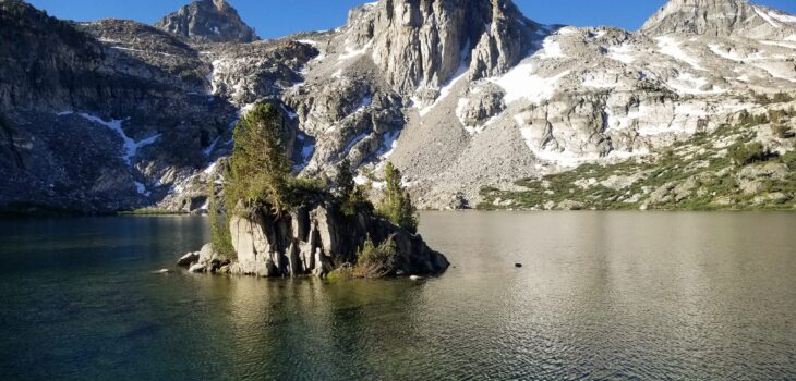
 Spaces & Places
Rae Lakes Loop Via Kearsarge Pass
Ever since I first encountered the Sierra Nevada Mountains during my National Park trip in 2016, they have held a special place in my heart. These mountains are extraordinary and boast some phenomenal hikes with vistas that are unparalleled throughout the country.
In 2020 I ventured back to the Sierras for some more backpacking and camping, relishing the beauty and solitude that I found within its peaks and valleys.
Most recently, I completed a 6-day wilderness trip that has been on my bucket list for quite a few years: The Rae Lakes Loop. Permits for this backpacking trek can be difficult to procure, and so when I managed to snag some in December ’23, I was elated at this incredible opportunity. Accessing the loop from the east side adds some extra mileage and elevation gain, but it also provides an easier trailhead access point and an additional layer of awe-inspiring views.
Bottom line up front: Hiking the Rae Lakes Loop via Kearsarge Pass was a magnificent experience with seemingly never-ending beauty.
It was also the hardest physical thing that I have ever done.
So let’s begin.
Pre-Trip Acclimating
Most of this hike occurs at over 9,000 feet, which is no joke for someone like me who lives slightly above sea level. From previous trips, I know that I am highly sensitive to altitude sickness, so I decided to acclimate at a primitive campsite for 2.5 days. Yes, that seems like a lot, but I have absolutely no regrets! There were numerous hikers I ran into who were coming down from the mountain quite ill because their bodies simply hadn’t gotten used to the high elevation. I had some bad headaches at base camp but was fine when the actual hike began.
Day #1
Onion Valley Trailhead to Charlotte Lake
8.5 miles, ~2600 feet elevation gain, ~1400 feet elevation loss
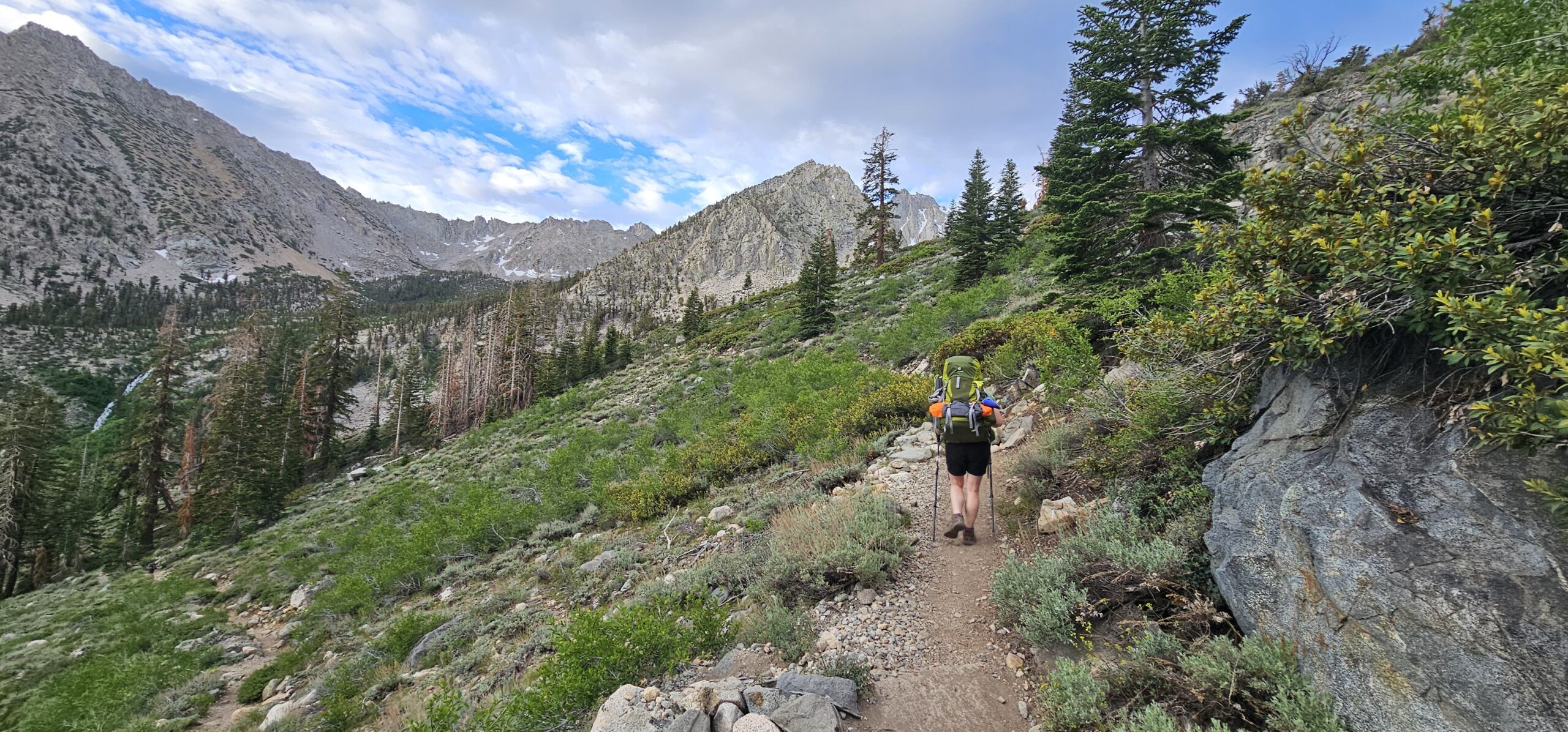
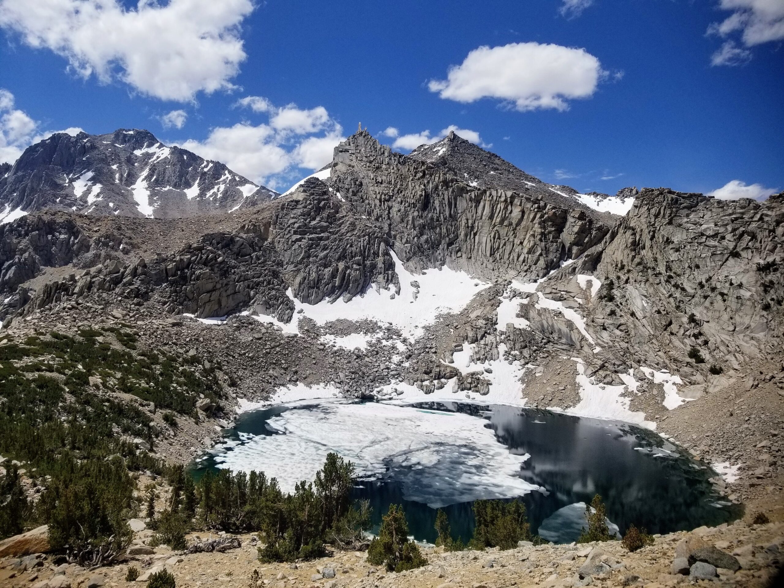
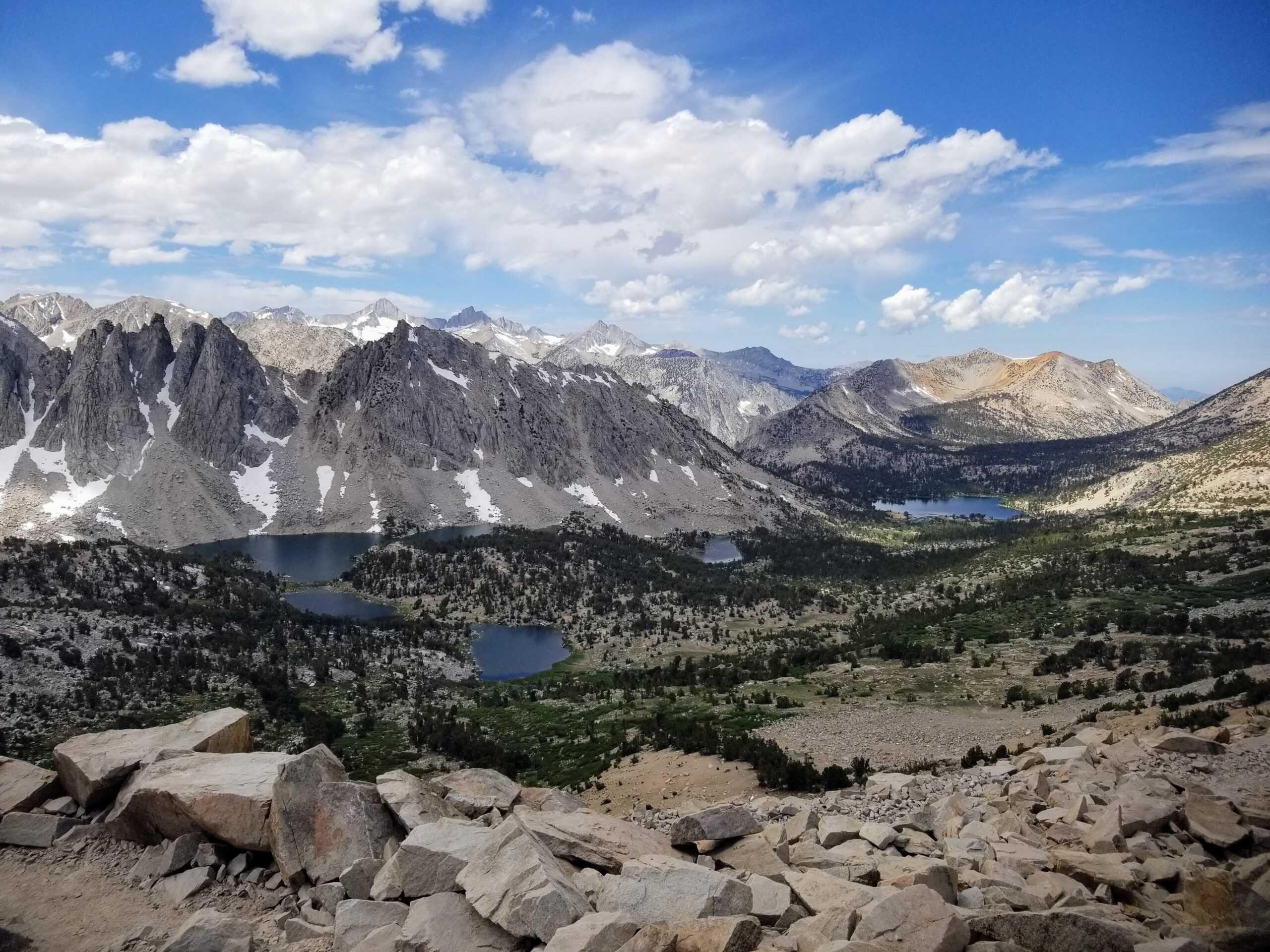
An early start and some cloud cover made Day 1’s hike pretty seamless. The first 4.7 miles were all uphill, passing five gorgeous lakes. My lungs struggled a bit to intake the limited oxygen at 9,200+ feet, but I progressed steadily, taking many breaks to appreciate the scenery and snag some photos. Cresting Kearsarge pass was an exciting high of the day; the panoramic views were unlike any I’ve experienced before. Continuing on, the Kearsarge basin boasts a few lakes surrounded by mountains, an absolutely stunning landscape to hike alongside for 2ish miles.
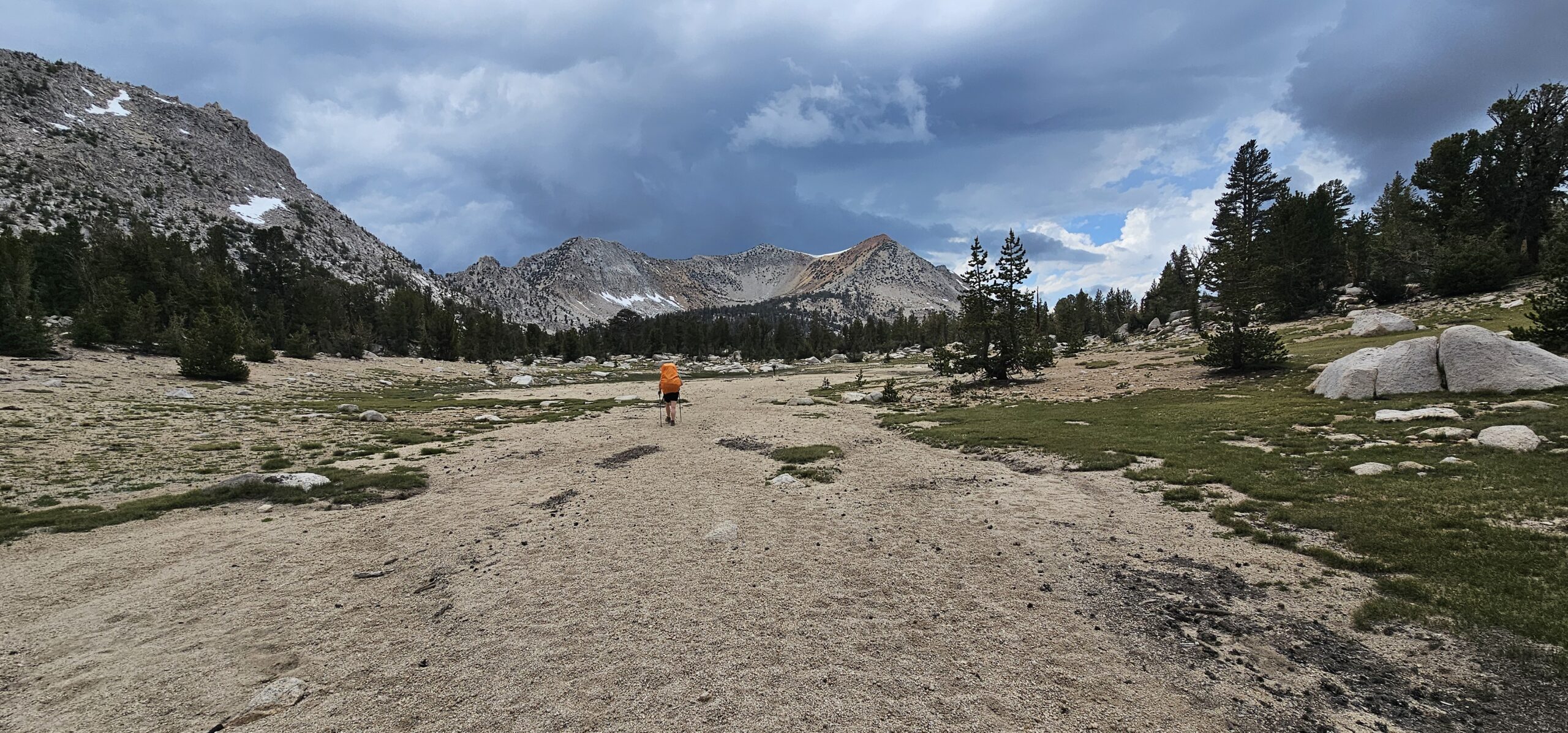
By the time I got to the junction indicating the short descent into Charlotte Lake, storm clouds were brewing in the distance. I didn’t think much of it, remembering my other times hiking in the Sierras and the fleeting rains that seemed common in this mountain range. However, it began to thunder and lightning just as I reached the camping location. The rain was pouring down, quickly turning into pea-sized hail. Huddling under a tree provided limited protection, but I remembered noting a nearby ranger station on the map. Sure enough, a small tarp was slung up on a string and secured at the corners, providing some respite from the storm.
Soaking wet, I waited out the storm for almost three hours. I was cold, shivering, and lamenting the fact that my backpack’s water proof cover was only water resistant. Eventually, around 8 pm, the clouds lifted and the sun peeked out for a little bit before setting over the western horizon. Luckily my sleeping bag, fleece, and puffy were all dry and cozy. My knees creaked as I crawled into my tent that evening, but my spirits were excited about the journey yet to come.
Day #2
Charlotte Lake to Charlotte Creek/Bubbs Creek Junction
8.5 miles, ~350 feet elevation gain, ~3,400 feet elevation loss
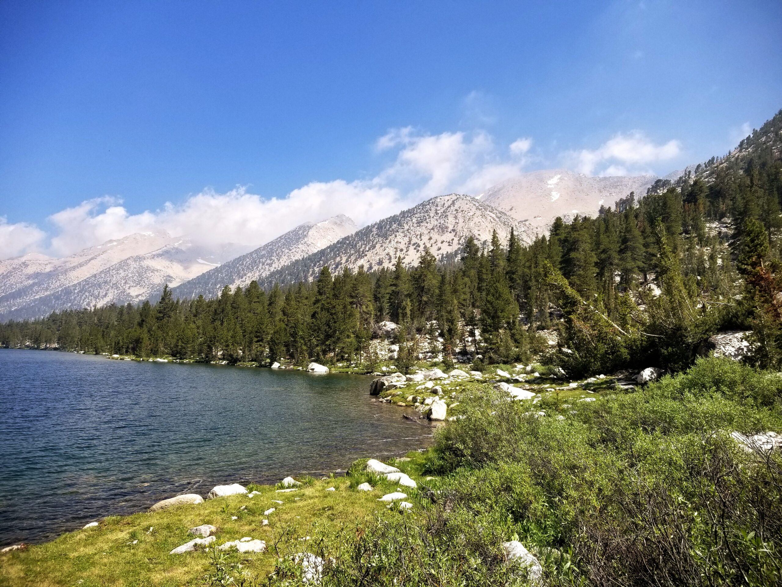
My knees weren’t feeling too keen the next day, but some stretching and ibuprofen helped alleviate some of the inflammation. (Going downhill with a heavy pack is tough!) I got a late start because I needed to dry out some clothes, my backpack, and my tent which was laden with condensation. I appreciated the lazy and somewhat relaxing morning as I took my time organizing and repacking items that had been haphazardly stored after the killer storm.
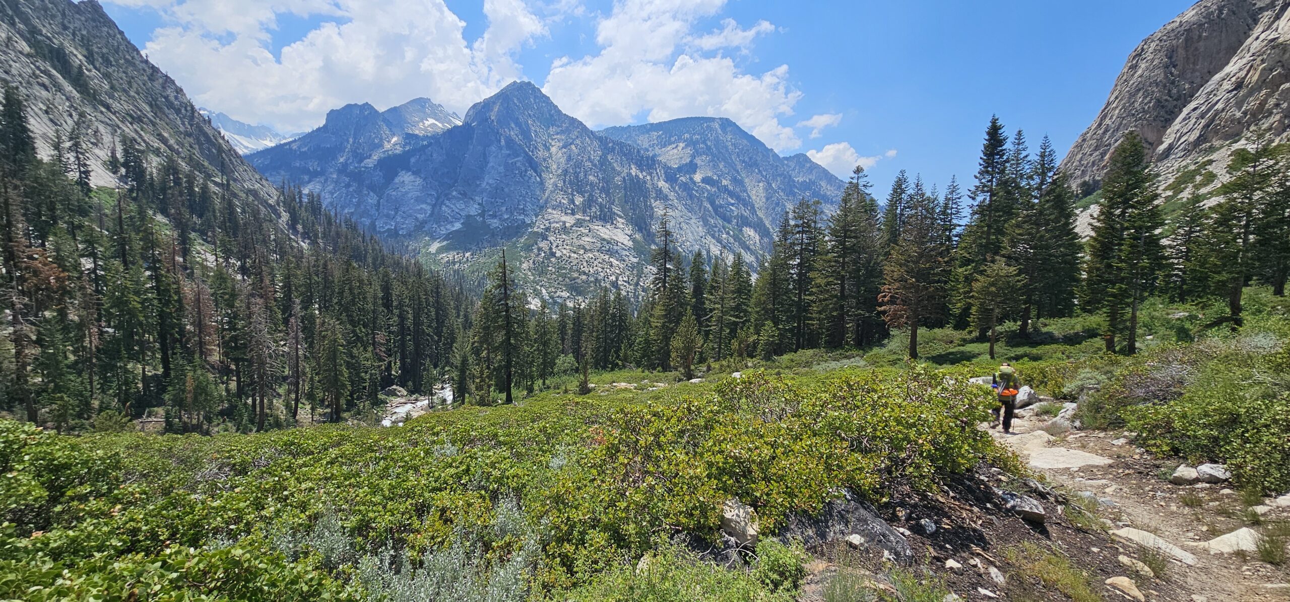
And then I was off, a short uphill out of the lake basin before a seemingly never-ending downhill. Again: painful on the knees. The towering granite walls of Kings Canyon began to rise around me, their sheer cliffs covered with delicate waterfalls cascading from unseen places.
In the distance, I began to note the telltale haze of wildfire smoke. I had looked online before beginning the hike, but didn’t see any issues with nearby fires. As I descended on Day 2, the air filled with a faint scent of smoke – definitely not ideal for endurance hiking!
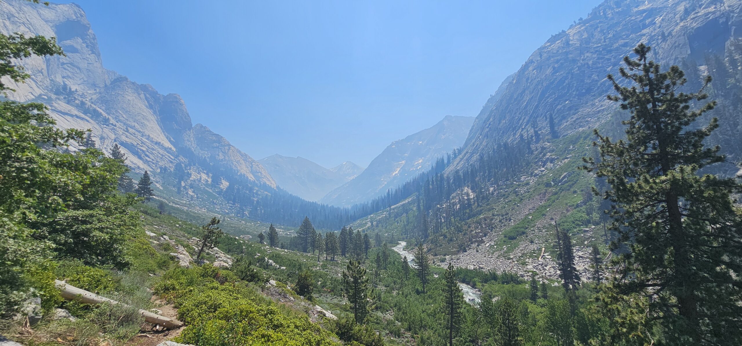
The positive side of the smoke was that the mosquitoes in camp chilled out, and I was able to enjoy my dehydrated dinner with Charlotte Creek babbling in the background.
Day #3
Charlotte Creek/Bubbs Creek Junction to Upper Paradise Valley
12.8 miles, ~2,000 feet elevation gain, ~2,300 feet elevation loss
The day started with a bear event! Apparently a curious black bear was scoping out my tent in the early morning and scampered away once he (or she) became aware of human activity.
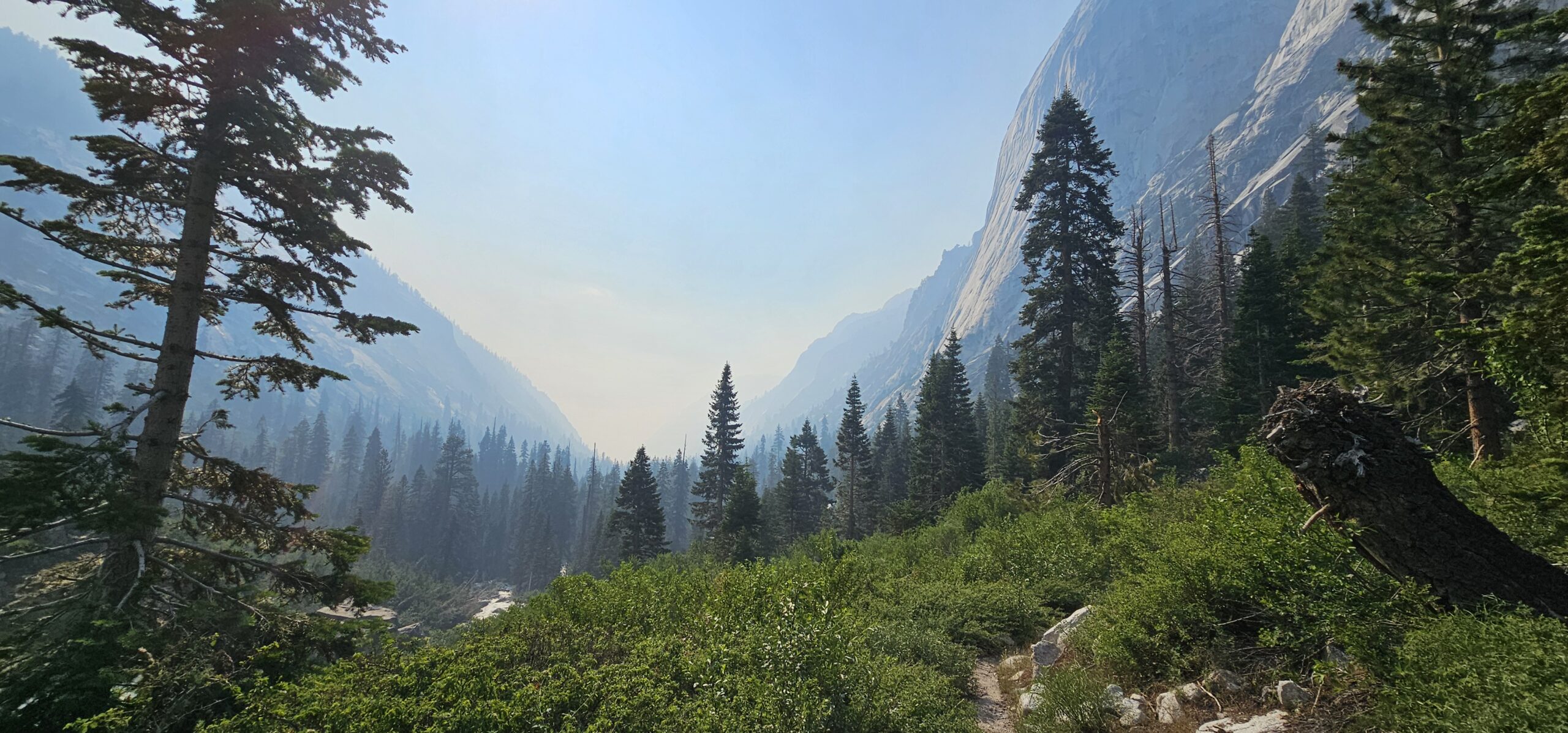
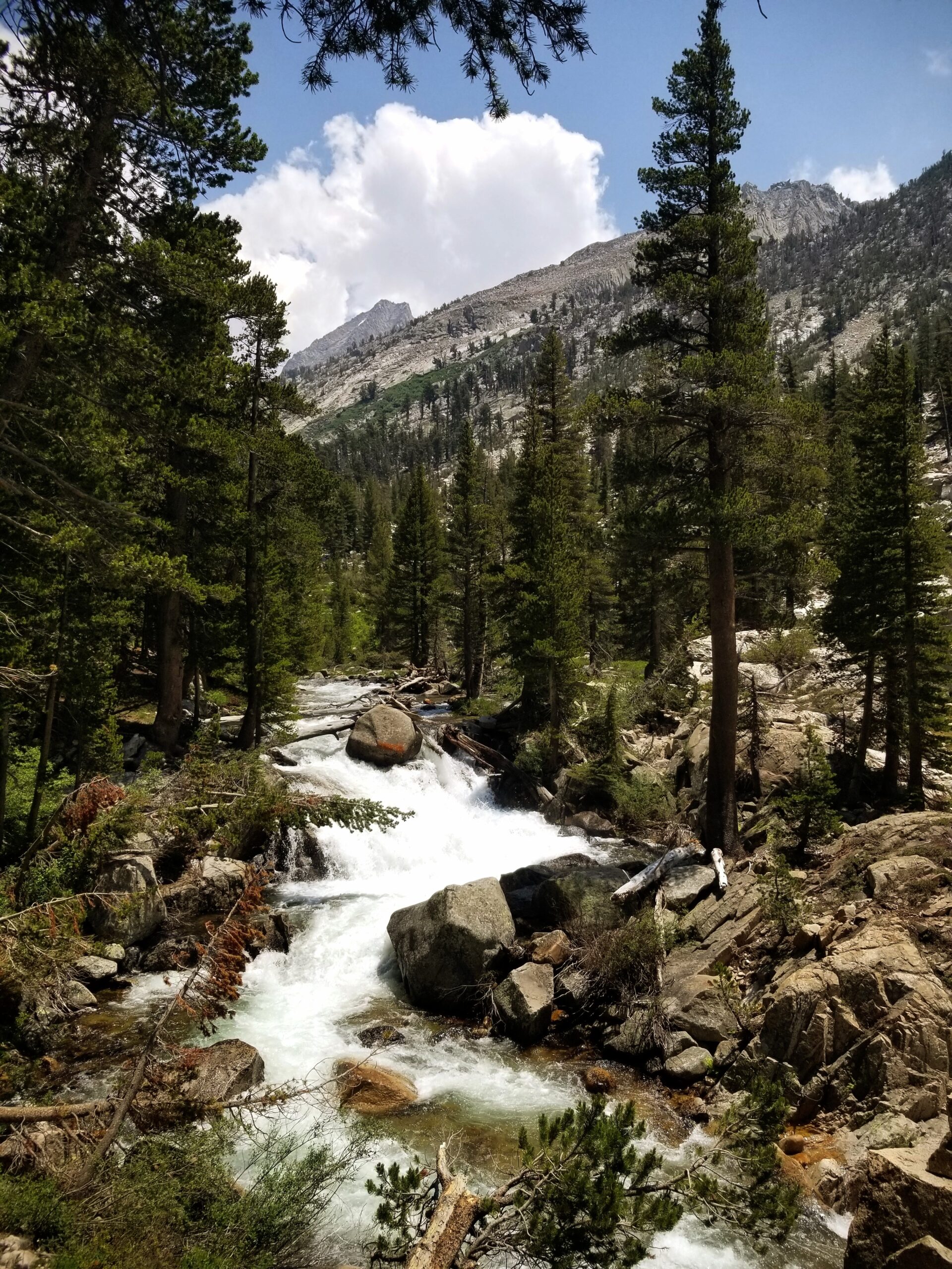
Day 3 was my longest mileage day, but it had a good mix of uphill, downhill, and relatively flat portions. The wildfire smoke increased as I descended, and the handful of day hikers I saw had masks on to protect their lungs against the smoke. As I reached the valley floor, the trail began winding through groves of towering trees and alongside the tranquil Bubbs Creek. Birdsong, rustling leaves, and the crunch of my boots on the trail set the perfect symphonic backdrop for the day’s hike.
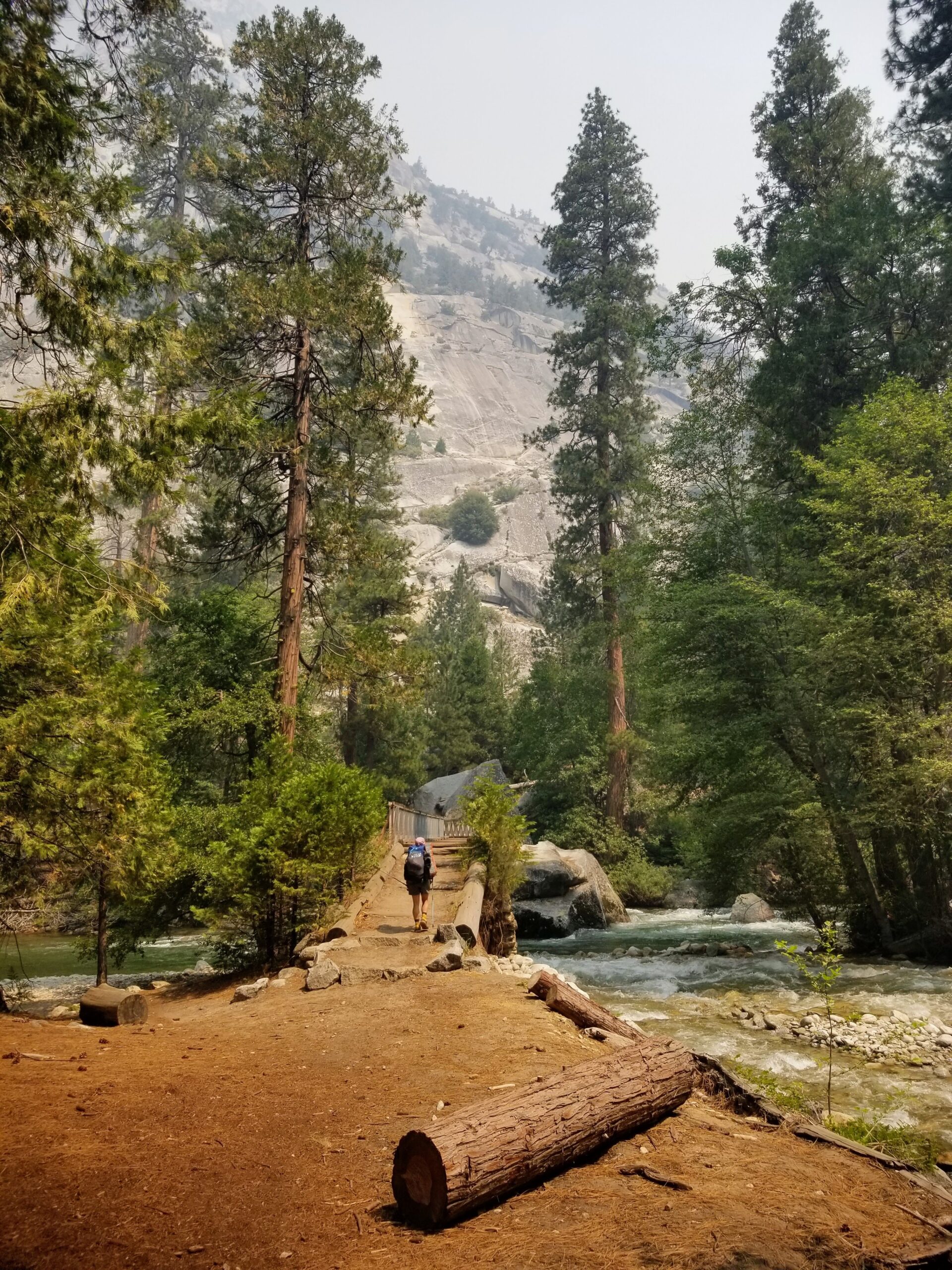
Mist Falls was a highlight and the perfect place for a dip into the cold, clear water. #WildernessBath
And then it was a slow grind back uphill. I paused frequently, both out of fatigue and to admire the views of the roaring South Fork Kings River.
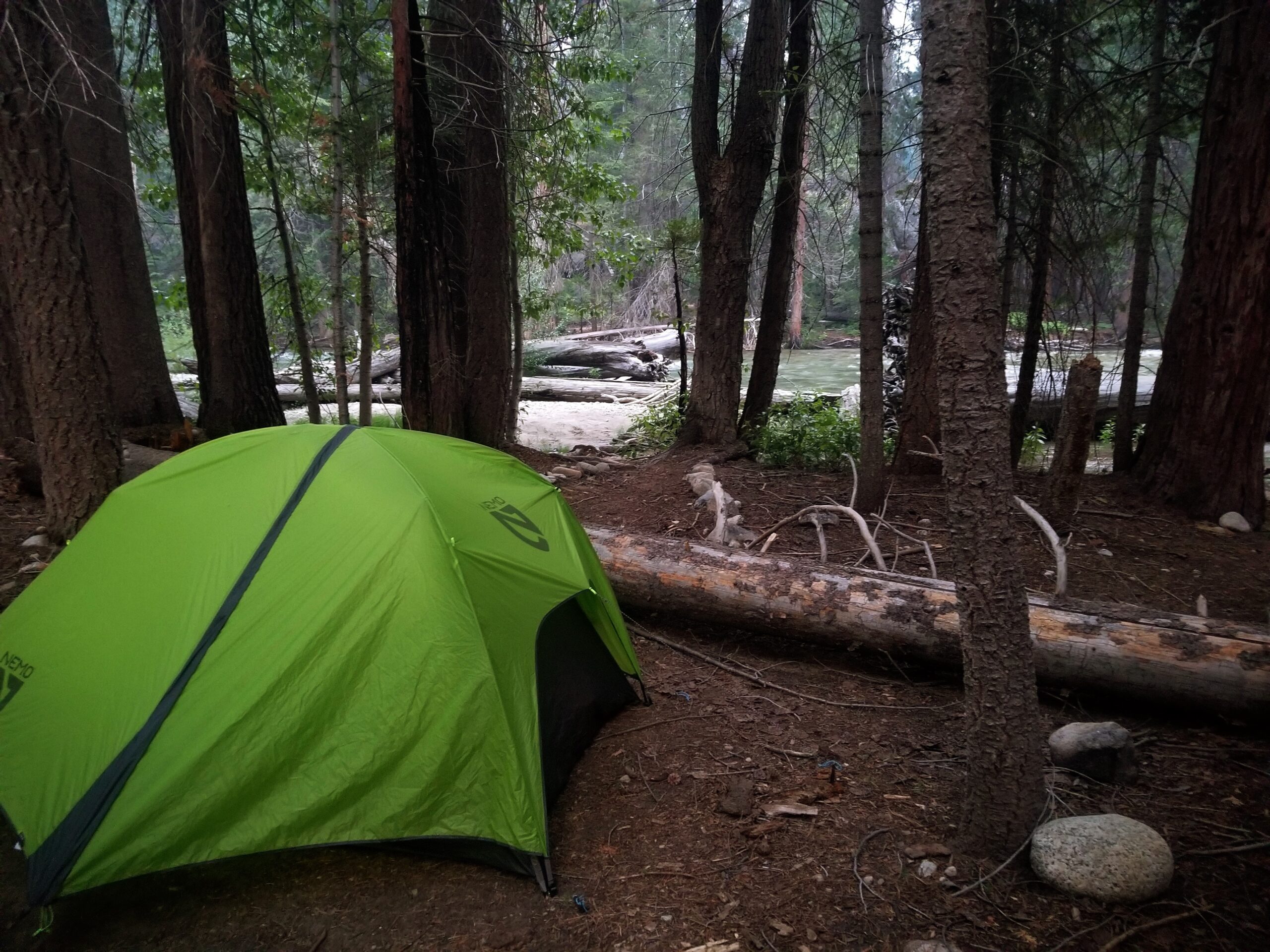
My camping spot in Upper Paradise Valley was pretty darn cute! It was spacious, relatively bug-free, and close by the river that I would have to cross the next day.
Day #4
Upper Paradise Valley to a Tiny Campsite a Mile North of Dollar Lake
10.2 miles, ~2,550 feet elevation gain, ~0 feet elevation loss
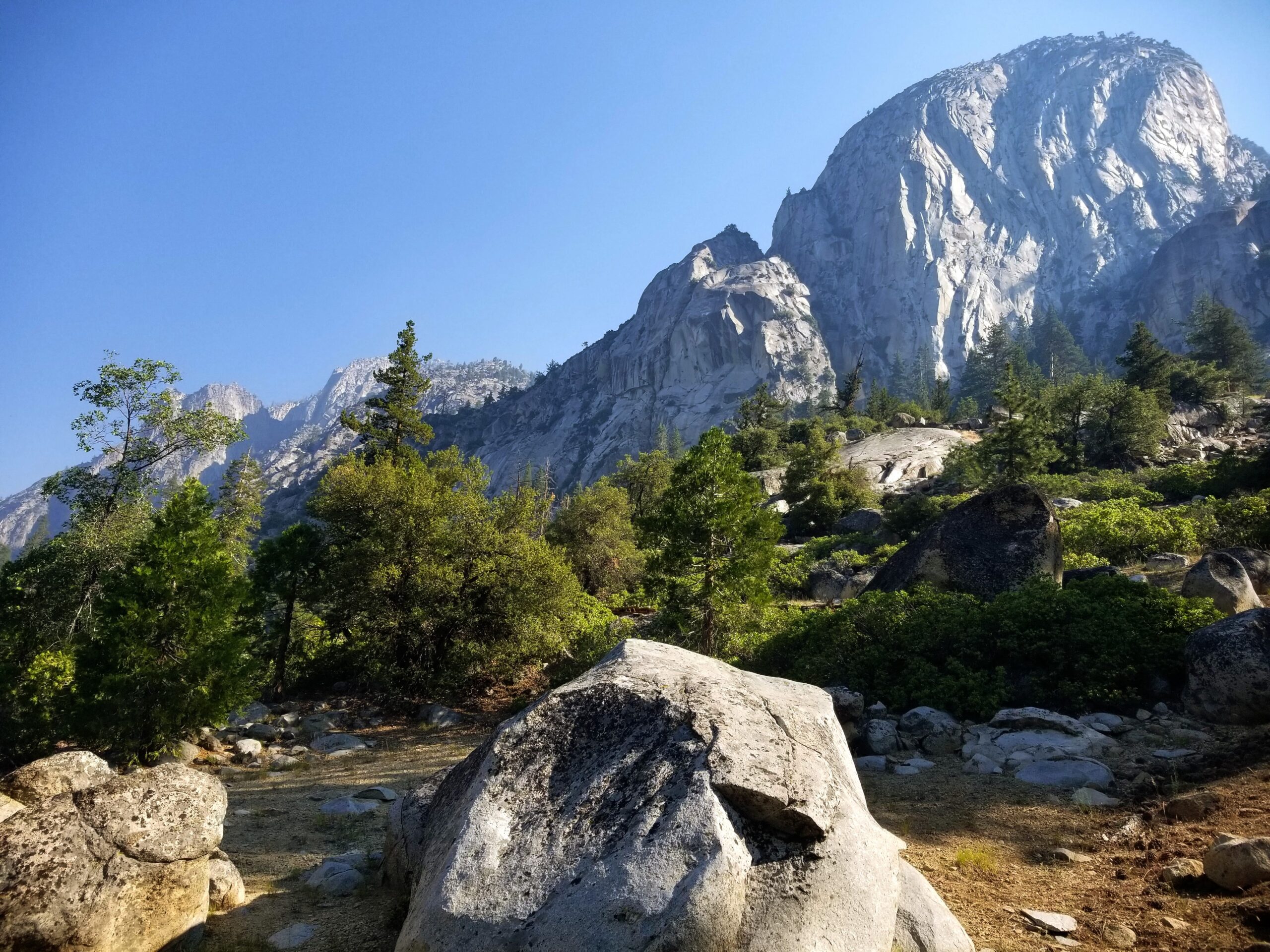
Day 4 was, by far, the hardest day ever. Not only did it feature a long upward hike, but there were obstacles galore that seemed to crop out of nowhere.
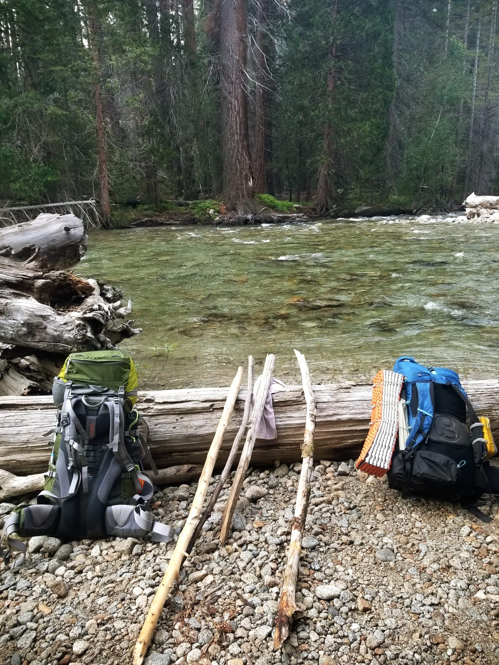
For example, the first river crossing was almost up to my hips and 30+ feet across. The adrenaline was definitely pumping while I slowly shimmied my way to the other side, carefully placing each foot as the current pummeled me.
The sun was also relentless after I emerged from the tree cover and started making my way back towards the east side of the mountains. It felt like I was either crisping in the sun on rocky outcroppings or battling mosquitos in the shaded wood areas.
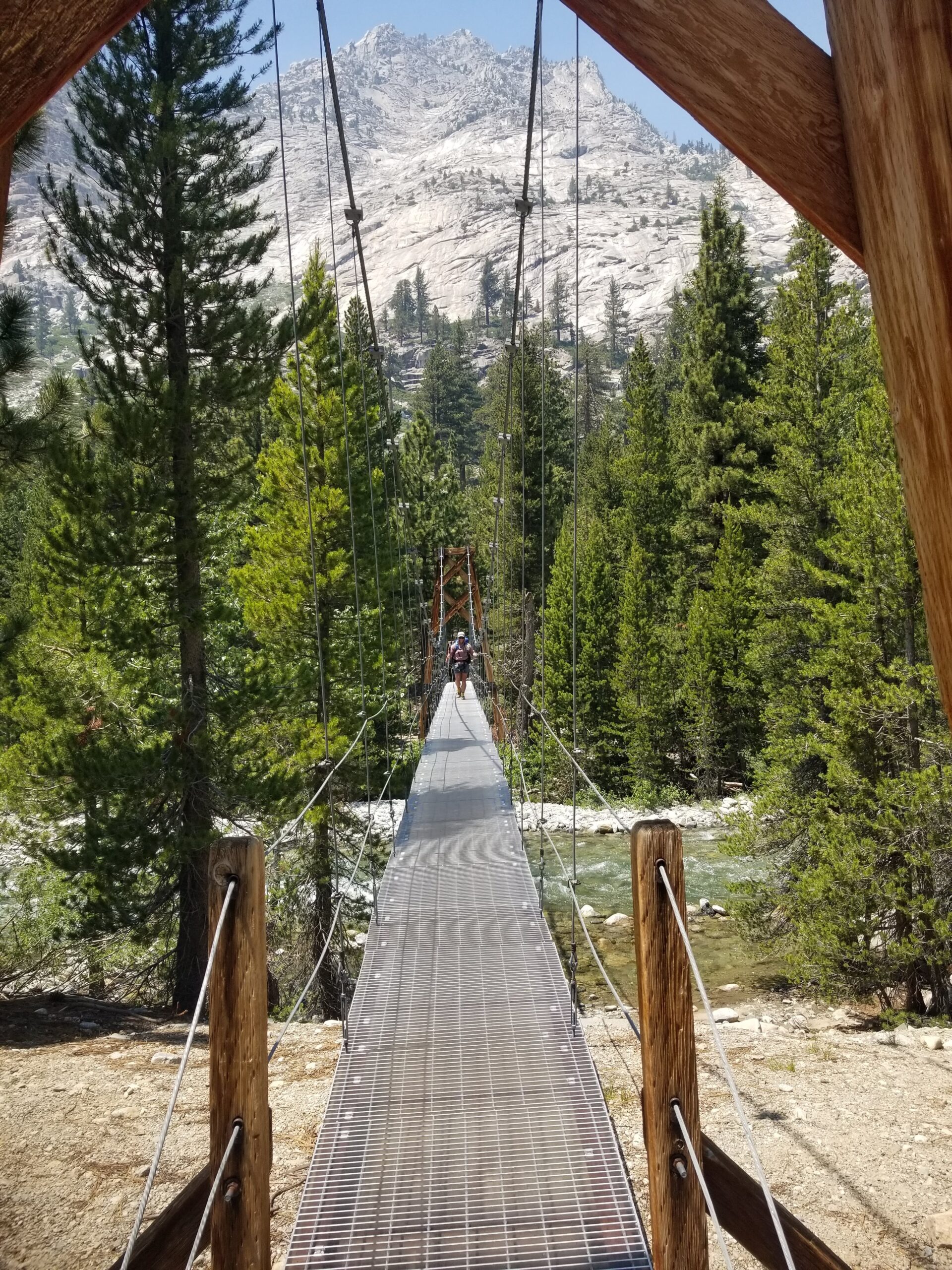
By midday, I was physically spent and trying to stay on top of my electrolytes/hydration. I figured that the final 2.5 miles wouldn’t be too bad, but that was before I hit avalanche central.
Yep.
This past winter, there was an avalanche in a section of the Pacific Crest Trail (PCT) that overlaps with the Rae Lakes Loop. I was crawling under tree branches, flopping over tree trunks, and making my way around the downed debris that littered the trail for at least half a mile. It was slow going, and my legs now boast the remnants of gashes I received from the rough bark.
Eventually, a little campsite near a creek came into view. The mosquitos welcomed me with open arms and relentlessly pursued me throughout the evening. As I filtered water, set up my tent, and cooked dinner, they did their worse. Bug spray seemed only to be a challenge that the mosquitos were hellbent on overcoming.
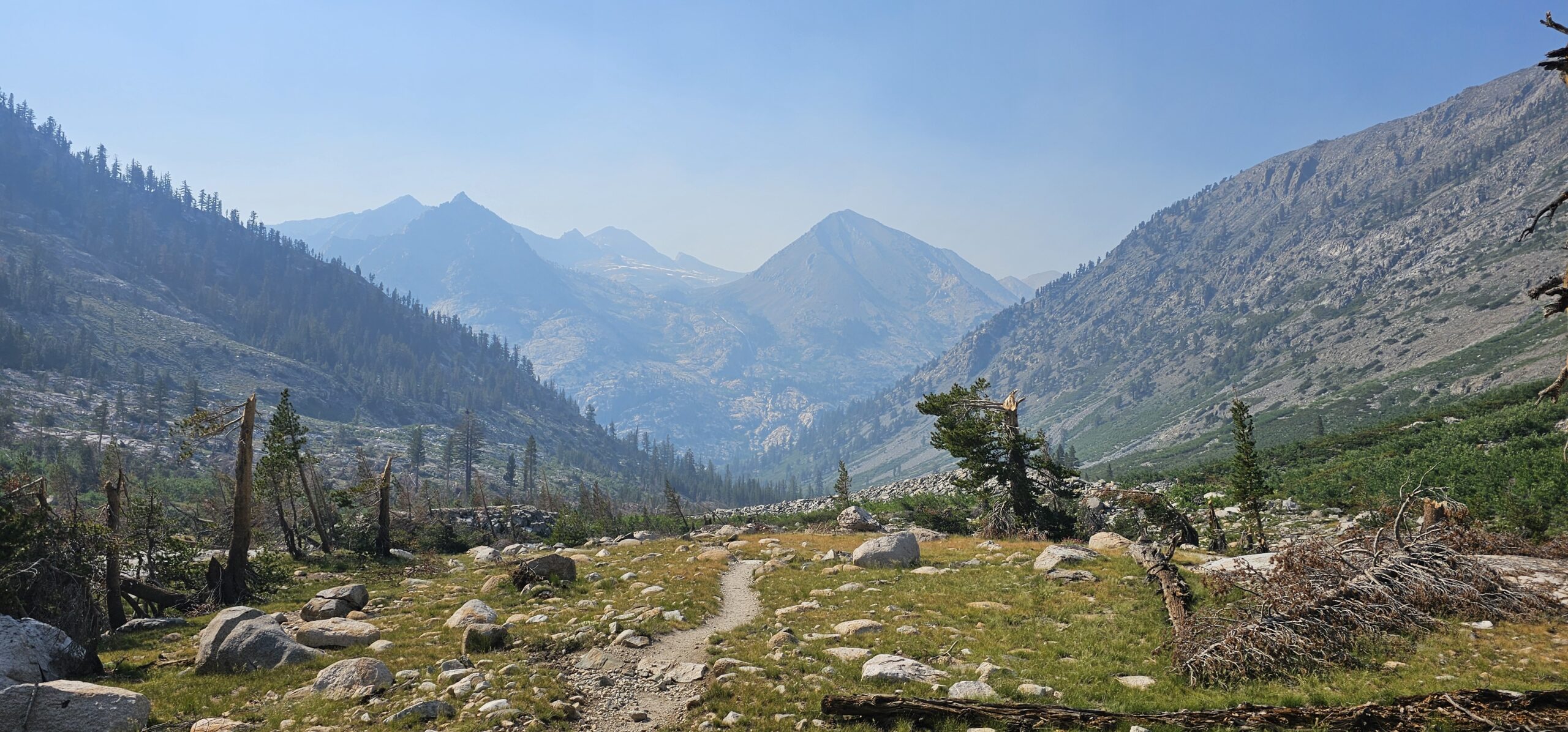
Although Day 4 was ridiculously challenging, I still enjoyed trekking through the high alpine meadows and enjoying the wildflowers attended to by their pollinator friends.
Day #5
A Tiny Campsite a Mile North of Dollar Lake to Kearsarge Lake
12.5 miles, ~3,200 feet elevation gain, ~1,700 feet elevation loss
Although I was already physically worn out from a very grueling Day 4, I decided to wake up at 3 am on Day 5 to hit the trail early, avoid the heat of the day, and hopefully make it further than originally planned. The first hour or so I hiked in the dark, humming to myself and to any bears in the area so as not to startle these furry creatures.
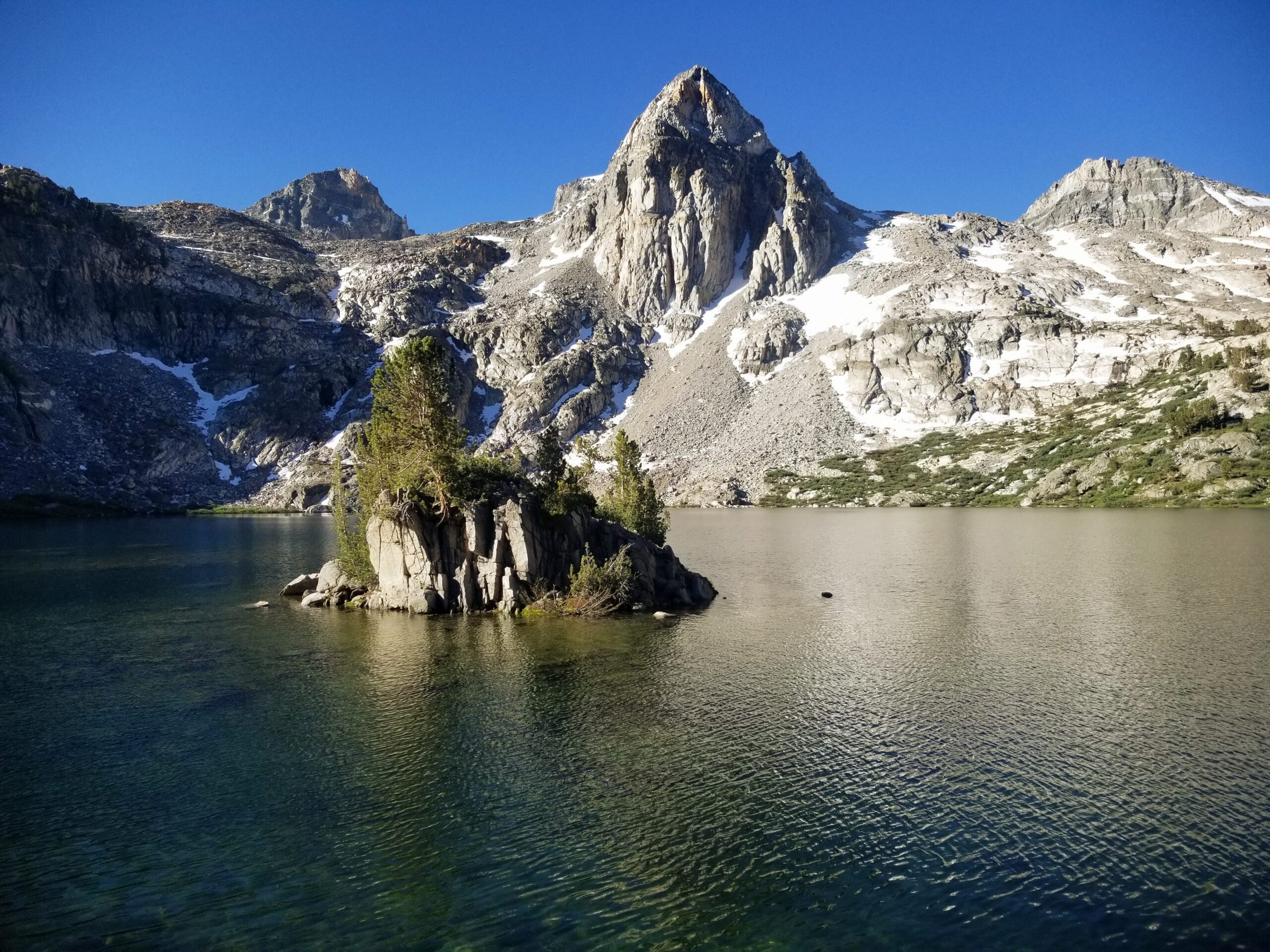
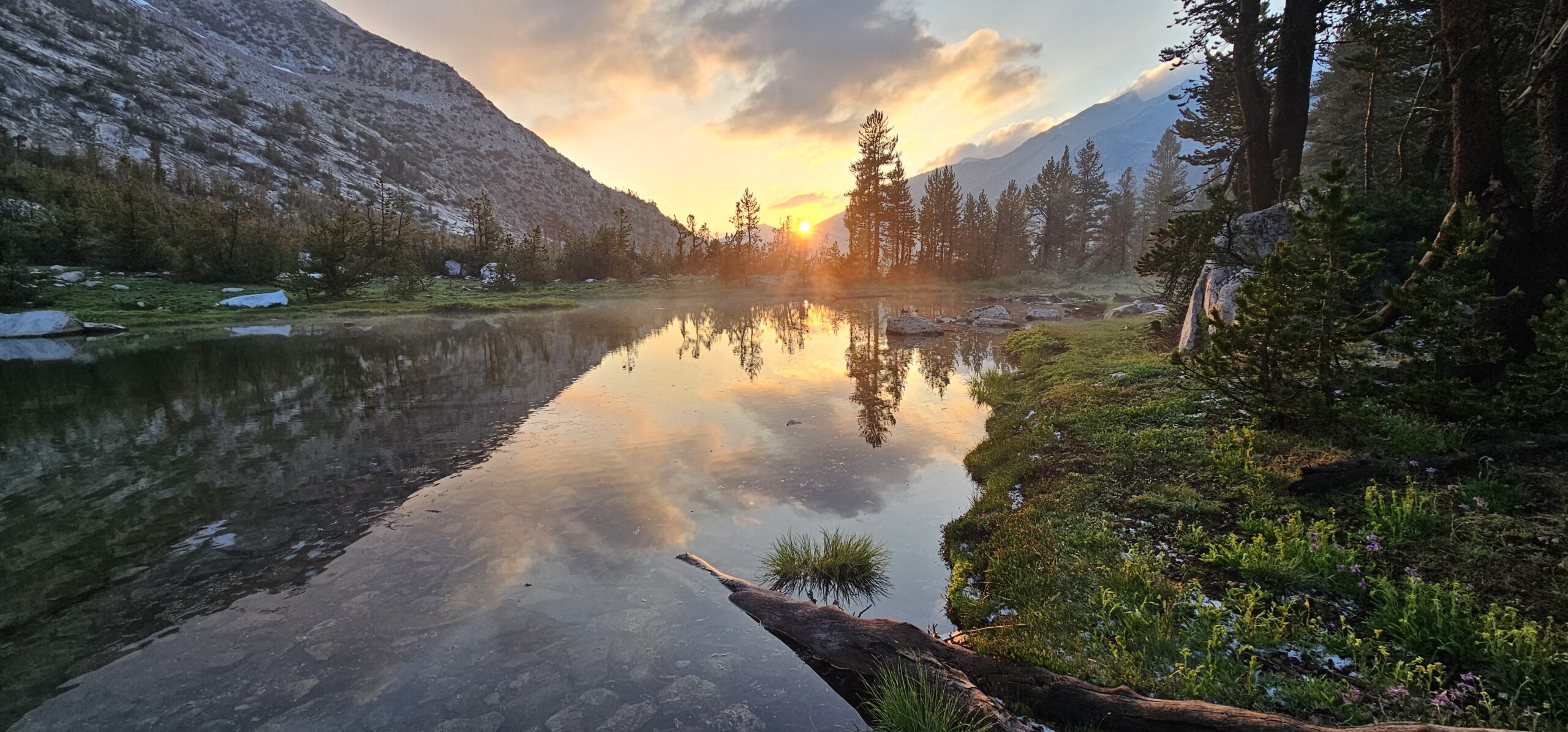
Eventually the sun rose, bringing with it a fresh set of energy and anticipation. Within Rae Lakes Basin, the trail meandered past a series of jewel-like lakes, the crystal-clear waters shimmering with plenty of fish snatching up the swarms of mosquitoes that flitted above. It was incredible to watch the sky reflected in the surface of these lakes nestled within the granite bowls. The views were simply astonishing.
After a few more river crossings, I faced the ascent towards Glen Pass, one of the most challenging sections of the loop. I had heard that there was still snow on the pass which meant some rock scrambling and snow shuffling was ahead of me. The trail twisted and turned, climbing steadily higher. My breath grew shorter with the altitude, but the surrounding vistas fueled my determination.
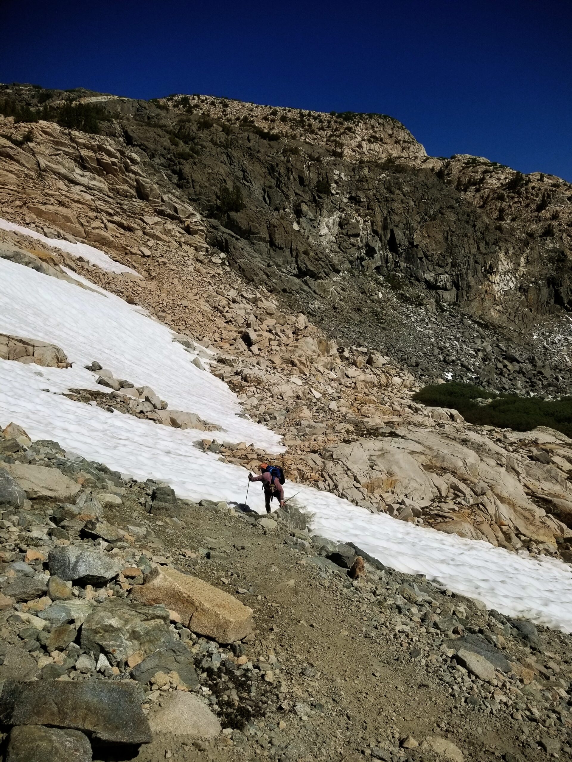
Reaching Glen Pass was definitely a moment of triumph. At 11,978 feet, the world stretched out before me in a panoramic display of rugged peaks and pristine valleys. The descent brought me back down to close the loop, and I veered back east for one more night of camping.
I had passed Kearsarge Lakes a few days prior, but it felt as if time had stretched and contracted during my wilderness experiences. Had it only been five days ago when I had walked alongside these neatly nestled bodies of water?
The campsite was gorgeous, private, and well-worth the effort. The night sky was one of the best I’ve ever seen, the Milky Way proudly strutting across the heavens, just like a painting.
Day #6
Kearsarge Lake to Onion Valley Trailhead
6.2 miles, ~1,000 feet elevation gain, ~2,600 feet elevation loss
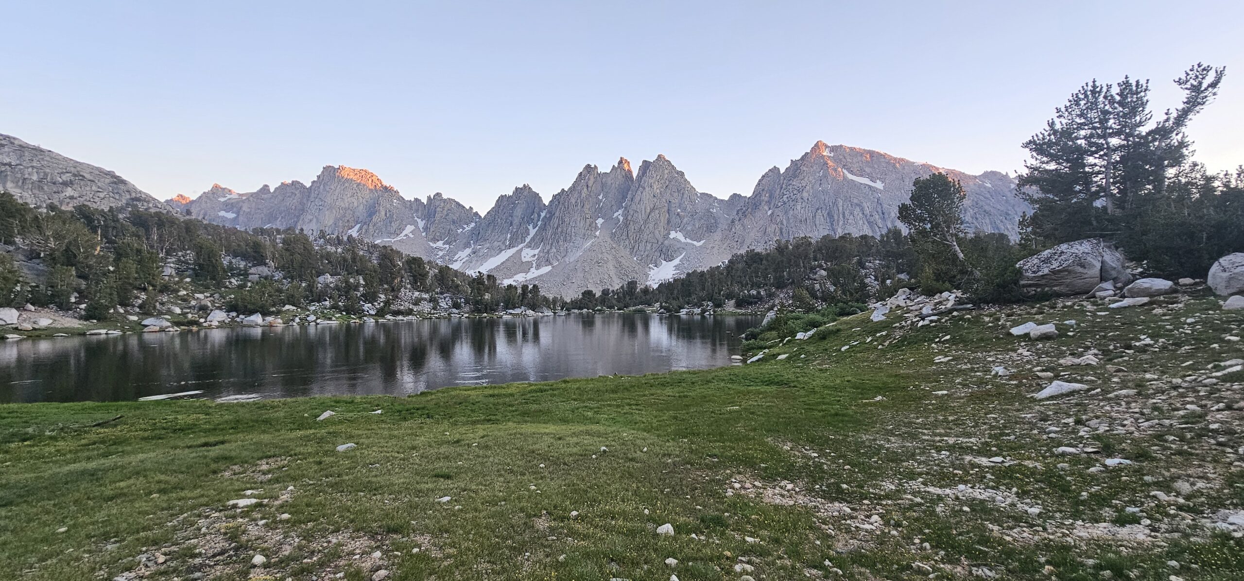
I woke up to frost coating the inside of my tent’s fly. At 11,000 feet, the air was quite chilly, and the moisture around the lake meant an icy start to the day.
Donning my gloves and winter hat, I packed up my tent for the final time, experiencing lots of mixed feelings. On one hand, I was very excited to get back to civilization wherein I could turn on the tap to get my water. I was also looking forward to a shower, salty snacks, and rest that my body craved.
Yet the Rae Lakes Loop trail was so magical, and I knew I would miss the surreal moments of being in the Sierra mountains surrounded by inexplicable beauty everywhere I looked.
Sure enough, as I record my adventures in the comfort of a climate-controlled house, I look back fondly (and longingly) on this backpacking extravaganza, including all the mishaps and obstacles that came my way.
Would I do it again?
Perhaps. Right now my knees still need a bit of a recovery.
Do I miss the Sierra Nevada Mountains already?
You bet.
~ A big shout-out to the best backpacking partner ever, Amanda G’rizzle. All the panoramic photos were taken by her. <3
1 COMMENT
Wow Stephanie! You are so brave and strong to do that trek! Thanks for sharing your adventure here. Hope your knees heal completely! Hugs!
Dianne